

What do you need?
Destination
Category


Sports & Adventure
Route from Casa Venta los Civiles to Pico del Relojero. Section of trail PR-MU23
Puerto de la Cadena, venta casa civiles, near the Cumbres gas station.
El Valle y Carrascoy Regional Park
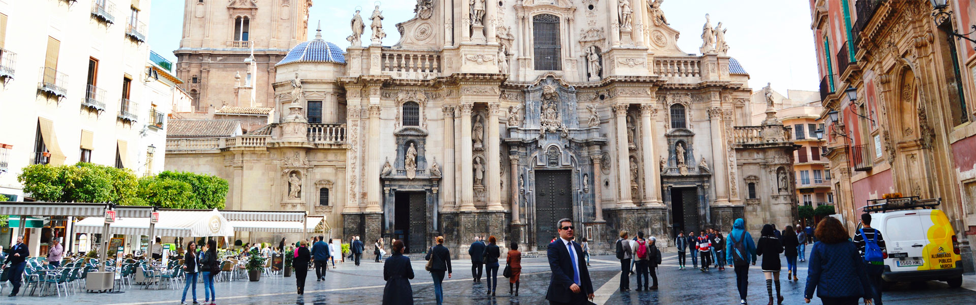
-Murcia-
This is one of the best routes near the city of Murcia because it is fun and offers great views of many places in the Region. A good option to enjoy a weekend of nature and trekking. Depending on how fit and willing you are, you may continue all the way to Murallas de King-Kong or Cresta del Gallo. The route proposed is slightly over 9 kilometers (round trip) and very easy to enjoy with your family, kids included. The trails, especially used by mountain bikers, provide great views of the Cartagena countryside, Cabezo Gordo, Mar Menor, the mountain ranges of Cartagena. Looking North you will see Sierra Espuña, Ricote and Columbares, among others, not to mention the magnificent El Valle y Carrascoy Park. Once on top, you will be have incredible views of with the moonlike landscape and the King-Kong walls.
The route starts after you pass the green fence on the dirt trail. After some 200 meters, continue on the main trail or take a path off to your right. It does not matter which you take because they merge after 2.4 kilometers. The main trail is about 500 meters shorter but also more boring as it does not run through a ravine full of pine trees and vegetation with views of the Cartagena countryside and the Carrascoy mountain range. In this case, we have chosen to go on the path and return on the main trail. In Wikiloc you can see both itineraries.
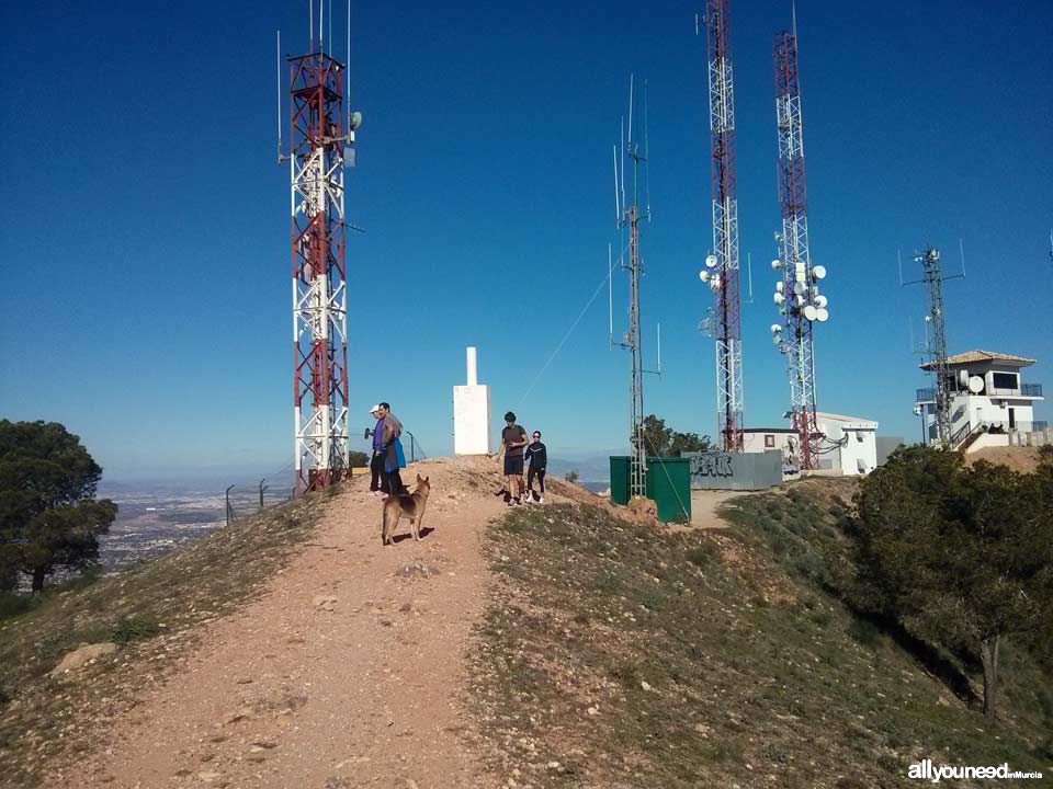
Nearly the end of the trail there is a well fenced off to avoid people from falling. Right after that, you will see views of the Cartagena countryside, the Portazgo castle and the Carrascoy mountain range. After a steep road you will reach the point where both roads merge, as mentioned before. Your way down on the steep road is perfect for taking great pictures. A few meters later, the road splits. Take the road on your left and continue until you get to a stone monolith with has a map drawn for clarification. Then take right. Eventually you will find a very steep path connecting to Pico del Relojero; that path is your way back; as we said, it is steep, so please be careful on it. Some 200 meters later you will find the trail leading to Pico del Relojero. Pay attention and don't miss the path; some people keep walking and don't realize they are on the wrong trail until they have gone down for some time! Once on the trail to Pico del Relojero, known for its antennas, you will have great views of the famous moonlike landscape and the King-Kong Walls. Make sure to take pictures!
Get directions:
From Murcia take the A-30 freeway to Cartagena. On top of the Puerto de la Cadena mountain pass, go towards Corvera (MU-601), exit 155. Right after that, take the road that says Murcia and in the roundabout follow the signs for “camino rural”, a rural road will take you to an area posted as “camino ventas los civiles”. In the opposite direction you will see the Cumbres gas station.
If you are going to Murcia, take exit 155 to the Cumbres gas station/Corvera (MU-601) on top of the mountain pass. After the gas station, take the rural road abovementioned.
On the road to “camino venta los civiles”, you will see a bridge on your left where you can take the PR-MU23 to Majal Blanco (Cabezo del Alto), located 7.7 kilometers away. Continue on the road (also the PR-MU23) but on the way to Collado del Cerrillar (4.3 kilometers). Leave your car next to the closed green fence where the trail starts, very near the houses.


0
comments

 Downloads
 Related links