

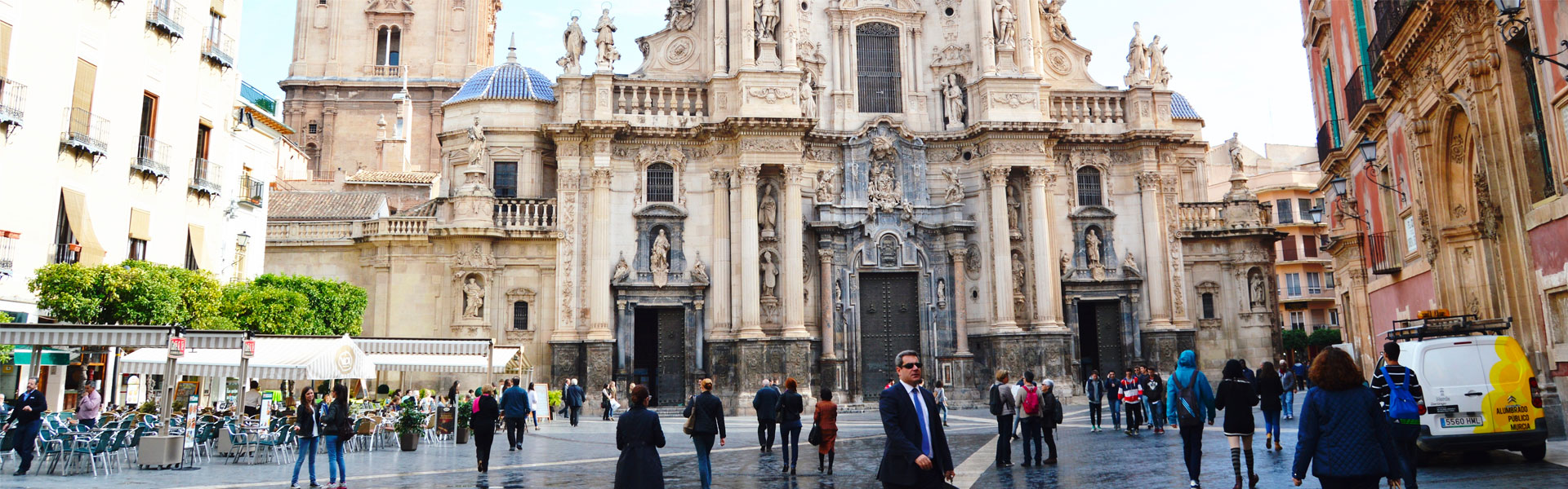
What do you need?
Destination
Category

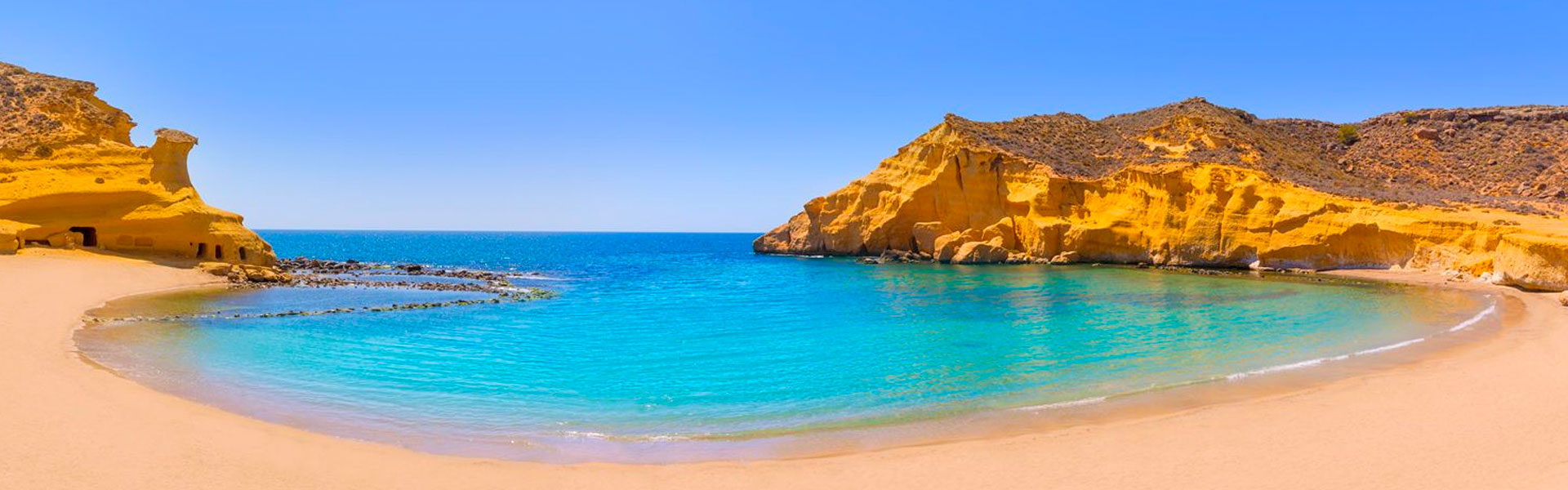


Sports & Adventure
Calblanque Regional Park Trails
Parque Regional de Calblanque
30385 -Cartagena-
Spanish name: Senderos en el Parque Regional de Calblanque
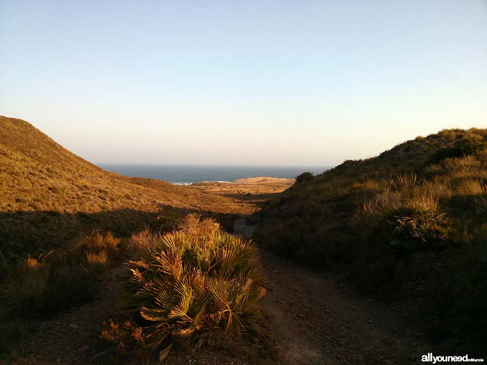
Photographic exhibition of the Calblanque Regional Park and its trails, some of which are marked on the maps...and many more to be found if you go exploring!
A piece of advice: stay on the trails
Drive to the designated parking areas in Calblanque Regional Park from Cala Reona (Cabo de Palos), from Monte de las Cenizas and from the Manga Club complex, towards the cove Cala del Barco. All these trails run near the fantastic coastline of Calblanque.
If you just want to get to it by car as soon as possible, then get on the La Manga freeway, take exits 9bis or 10 (right after Los Belones), and you will be on the dirt road for the Calblanque Regional Park. At one point, the dirt road splits in two: to the right the road leads to the information office, Cobaticas and the beaches of Larga, Negra and Parreño. The road on the left goes to the Rosell salt flats, the beach of Calblanque and the coves of Arturo and Magre. The latter is the last place accessible by car. To go to the cove of Déntoles, walk up the little hill and once on top you will see the cove to your right. The walk should take you no more than 10 minutes.
Here you have some Wikiloc routes and pictures taken by us:


0
comments

 Downloads
 Related links