

What do you need?
Destination
Category


Sports & Adventure
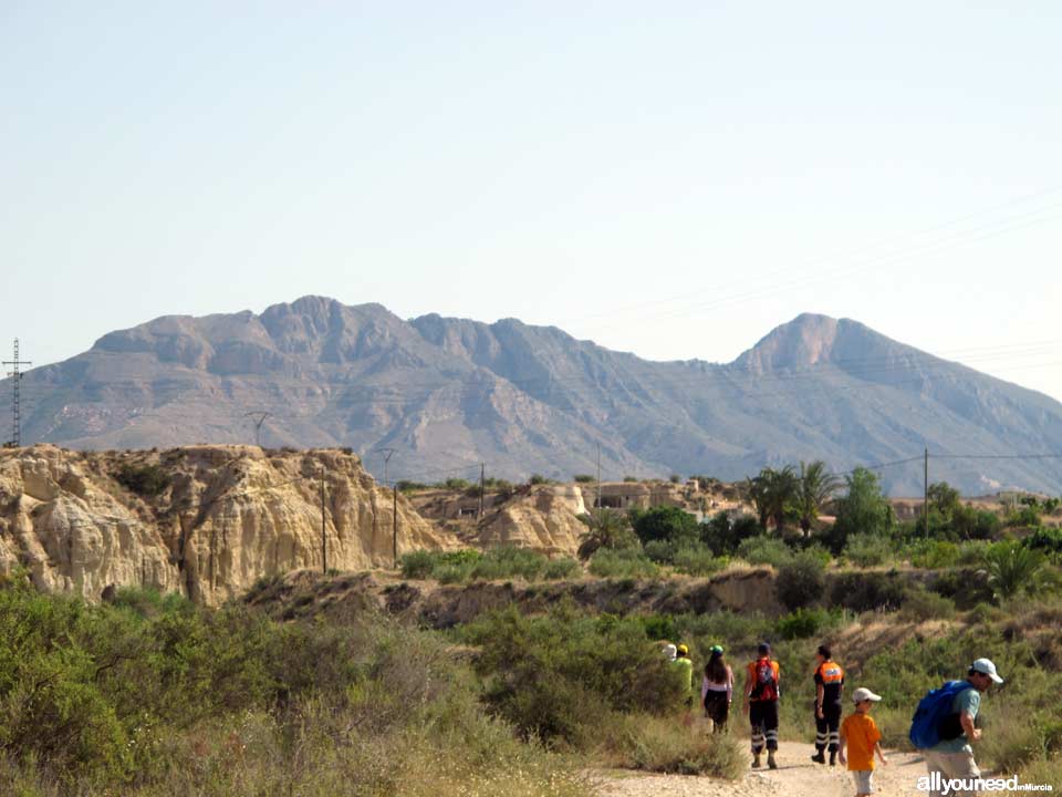
Network of Hiking Trails in the Murcia Region
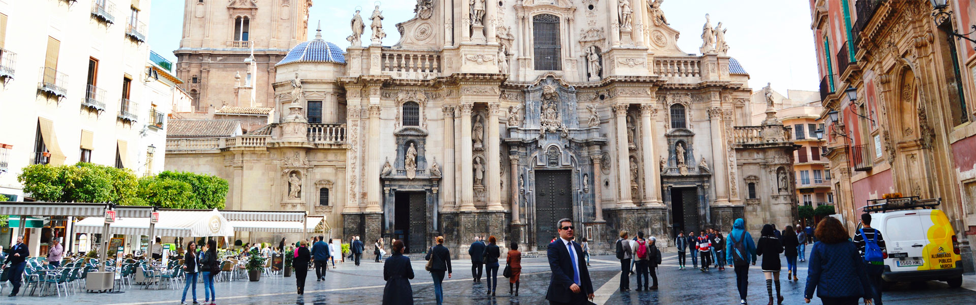
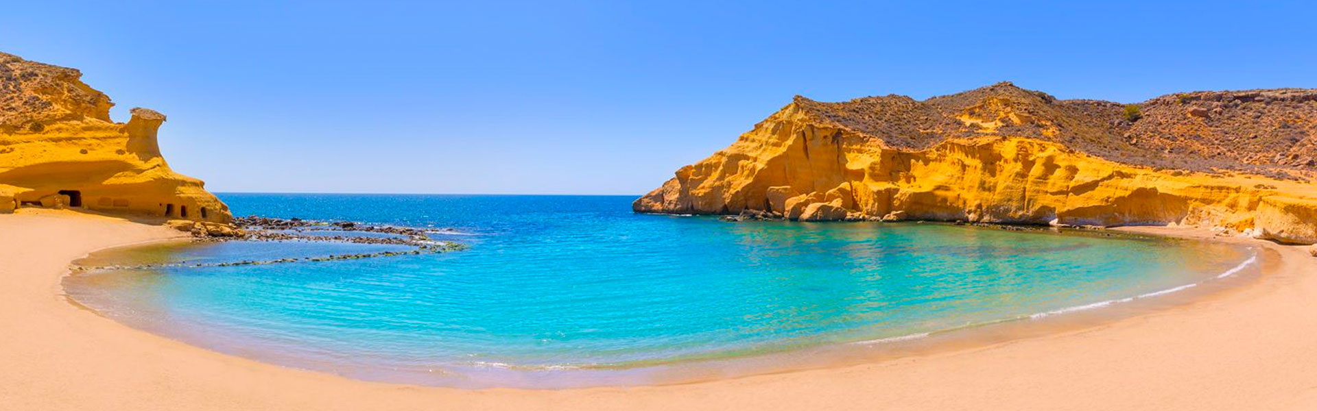
Región de Murcia
Spanish name: Red de Senderos de la Región de Murcia
 1. Trekking.
- Short trails (Spanish acronym: PR): 48 certified PRs in the Region of Murcia.
- Long trails (Spanish acronym: GR): 9 certified GRs in the Region of Murcia.
- Local trails (Spanish acronym: SL): 14 certified SLs in the Region of Murcia.
- GR7 E4: It runs through the Region of Murcia from Northern Europe.
- Northwest Green Path (GR250): 48 kilometers (between Baños de Mula and Caravaca de la Cruz).
- Northwest Green Route: It connects to the Northwest Green Path from Calasparra to Caravaca de la Cruz running through Moratalla.
2. Trails to interesting mountain tops (by bike or on foot)
- Pico de Revolcadores: (Moratalla, 2,021 meters high).
- Morrón de España: (Totana, 1,583 meters).
- Cima de la Madama: (Sierra del Carche, 1,371 meters).
- Villafuerte: (from Calar de la Santa, 1,750 meters).
- Buitre: (Moratalla, 1,428 meters).
- Sierra de la Pila: (Fortuna, 1,265 meters).
- Sierra de Ricote: (1,124 meters).
0
comments

 Downloads
 Related links